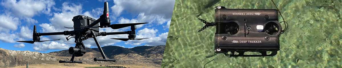
MAPPING AND PHOTOGRAMMETRY
Highly-accurate data collected extremely quickly. Centimeter accurate using RTK technology.
Safer- you no longer need to have staff walking over dangerous terrain or working at height - the drone can do it for you.
INFRASTRUCTURE MANAGEMENT
Infrastructure progress updates during construction. Maintenance checks. Damage evaluation after weather event.
Highly detailed imagery, data and digital twinning for projects.
Quick and cost-effective.
MARINE SURVEY
Speed and data quality that is not achievable using traditional methods.
Soil and water sampling at depths down to 350m (1000ft).
Reduces risk inherent in using diving personnel.
Very cost-effective. Useful in remote environments.
ENVIRONMENT
Define extent of spills and pollution.
Monitoring interventions.
Surveys and documentation following a natural or industrial disaster.
Real-time noxious gas detection.
Survey and identification of ecosystems, fauna and flora, wetlands.
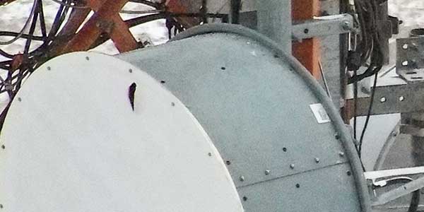
Telecom Infrastructure - Damage Survey
Go to Survey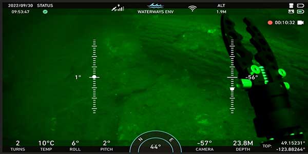
Waterlot Sea Bottom Survey
Go to SurveyCanadian Drone Works
Offices:
Coastal BC Operations:9995 Finn Bay Rd., Lund, BC
P: +1 604 628 1730 Central BC Operations:
221 Andover Rd., Kamloops, BC
P: +1 604 628 1730 Eastern BC / Alberta / Saskatchewan Operations:
Calgary, AB
P: +1 604 628 1730
Social


OUR MISSION
CANADIAN DRONE WORKS WAS BORN OF THE NEED FOR FAST ACCURATE COMPREHENSIVE AIRBORNE AND SUBSURFACE DATA COLLECTION, ANALYSIS, AND REPORTING IN WESTERN CANADA.
WHY CHOOSE US
Immediate response and quick accurate turnaround on all deliverables.
Efficient use of the most recent technology to quickly and safely complete the operations.
Versatile and adaptable. we have the tools you need and the boats, ATVs, and vehicles to get them where they can do the job.